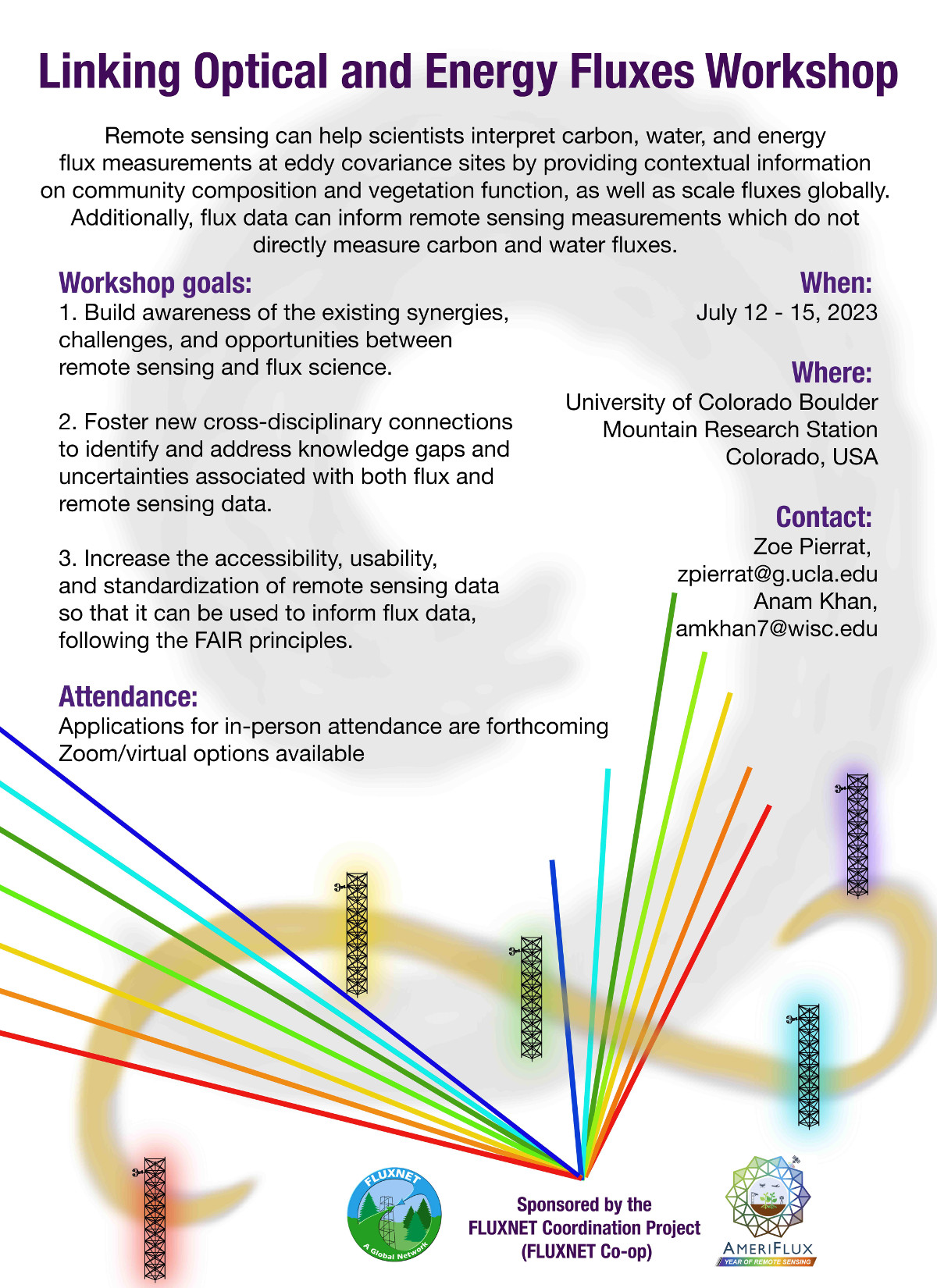
Remote sensing can help scientists interpret carbon, water, and energy flux measurements at eddy covariance sites by providing contextual information on community composition and vegetation function, as well as scale fluxes globally. Additionally, flux data can inform remote sensing measurements which do not directly measure carbon and water fluxes.
Workshop goals:
- Build awareness of the existing synergies, challenges, and opportunities between remote sensing and flux science.
- Foster new cross-disciplinary connections to identify and address knowledge gaps and uncertainties associated with both flux and remote sensing data.
- Increase the accessibility, usability, and standardization of remote sensing data so that it can be used to inform flux data, following the FAIR principles.
Attendance/Funding Information:
Applications for in-person due April 21 (past). Notice of in-person acceptance April 30 (past). Register by May 15 (past).
https://docs.google.com/forms/d/1eVkPzuxDBRn-UJR4qXDuiTQC2QP9owqbaact6wi9oJ4/
Attendance is free, as well as lodging for up to 32 participants (preference given to early career). Additional lodging can be found in nearby town of Nederland but will not be covered by the workshop (please specify preference in application). Food will be provided for all participants. A small number of travel grants (air/ground) are available and will be awarded by organizing committee–availability and willingness to help with event logistics and sessions during workshop are a plus.
When:
July 12-15, 2023
Where:
Mountain Research Station (location info)
University of Colorado, Boulder, CO, USA
Agenda: (July 11 afternoon-evening: arrival and check-in. July 15 morning: check-out)
| MDT | Day 0 (Jul 11): Arrivals & NEON Tour |
| Start time | Event |
| 3:00 | Departure from 1685 38th Street, Suite 100, Boulder, CO 80301 for NEON Tour: Calibration Lab, Airborne lab, Airborne hangar |
| 4:30 | NEON Tour: Calibration Lab, Airborne lab, Airborne hangar |
| 5:15 | Departure from NEON Tour to MRS |
| MDT | Day 1 (Jul 12): Hyperspectral and SIF | |||
| Start time | Event | Moderator | Speaker(s) | Topic |
| 6-7:45 | Breakfast | |||
| 8:00 | Opening remarks and community guidelines | |||
| 8:30 | Talk 1 | Koong Yi and Anam Khan | Hannah Mast | Coupling SIF and CO2 flux measurements in an intertidal salt marsh |
| 8:40 | Talk 2 | Koong Yi and Anam Khan | Guilia Tagliabue | Exploiting high-temporal resolution time series of reflectance and sun-induced fluorescence to untangle vegetation dynamics |
| 8:50 | Talk 3 | Koong Yi and Anam Khan | Michal Antala | SIF and VI’s in peatlands |
| 9:00 | Talk 4 | Koong Yi and Anam Khan | Julia Bigwood | SIF and GPP in the rainforest |
| 9:10 | Questions/Discussion | Koong Yi and Anam Khan | ||
| 9:30 | Break | |||
| 10:00 | Hands on activity collecting and processing hyperspectral data | Koong Yi and Anam Khan | Troy Magney and William Smith | Hands on activity collecting and processing hyperspectral data |
| 11:00 | Hands on activity collecting and processing hyperspectral data | Koong Yi and Anam Khan | Troy Magney and William Smith | Hands on activity collecting and processing hyperspectral data |
| 11:30 | Lunch | |||
| 1:00 | Hands on workshop using hyperspectral and SIF data | Koong Yi and Anam Khan | Tommaso | Workshop using the new metadata for hyperspectral in FLUXNET |
| 2:00 | Hands on workshop using hyperspectral and SIF data | Koong Yi and Anam Khan | Tommaso | Workshop using the new metadata for hyperspectral in FLUXNET |
| 2:30 | Break | |||
| 3:00 | Breakout groups for addressing key challenges and opportunities linking hyperspectral and SIF with flux data | Koong Yi and Anam Khan | Zoe and Loren Albert | what do we need to do to make this happen for SIF as well? |
| 4:30 | Break | |||
| 5:15 | Optional hike up to the flux towers | |||
| MDT | Day 2 (Jul 13): Thermal and LiDAR | |||
| Start time | Event | Moderator | Speaker(s) | Topic |
| 6-7:45 | Breakfast | |||
| 8:00 | Day 1 Recap | Troy Magney and Loren Albert | Koong Yi and Anam Khan | |
| 8:30 | Talk 1 | Troy Magney and Loren Albert | William Woodgate | LiDAR for canopy structure to inform flux data interpretation |
| 8:40 | Talk 2 | Troy Magney and Loren Albert | Mallory Barnes | Linking High-Resolution Thermal Remote Sensing and Energy Flux Data for Enhanced Ecosystem Understanding |
| 8:50 | Talk 3 | Troy Magney and Loren Albert | William Smith | Vegetation responses to drought |
| 9:00 | Talk 4 | Troy Magney and Loren Albert | Matthew Dannenberg | Scaling carbon and water fluxes from site to globe with remote sensing in dryland ecosystems |
| 9:10 | Questions/Discussion | Troy Magney and Loren Albert | ||
| 9:30 | Break | |||
| 10:00 | Hands on workshop using thermal and LiDAR data | Troy Magney and Loren Albert | Jen Diehl and Christopher Still | Thermal cameras and calibration |
| 11:00 | Hands on workshop using thermal and LiDAR data | Troy Magney and Loren Albert | Jen Diehl and Christopher Still | Thermal cameras and calibration |
| 11:30 | Lunch | |||
| 1:00 | Breakout groups focused on addressing key challenges and opportunities linking thermal and LiDAR with flux data | Troy Magney and Loren Albert | Jen Diehl and Mallory Barnes | Thermal remote sensing discussion |
| 2:00 | Breakout groups focused on addressing key challenges and opportunities linking thermal and LiDAR with flux data | Troy Magney and Loren Albert | Jen Diehl and Mallory Barnes | Thermal remote sensing discussion |
| 2:30 | Break | |||
| 3:00 | Posters and networking | Jess Lyons on poster setup | Waheed Ullah | how to make use of land atmosphere interactions for improving the forecast system of the Asian monsoon system |
| Yujie Liu | how leaf trait maps generated from hyperspectral remote sensing can be used to overlay the footprint of eddy covariance towers, and how these leaf traits can be used to explain the changes in water and carbon fluxes observed at these towers | |||
| Will Richardson | My poster will present initial findings from my ongoing campaign to make concurrent ground-based measurements of hyperspectral reflectance, solar-induced fluorescence, and eddy covariance CO2¬ fluxes at a commercial-scale rice field in the U.S. Mid-South. These data will be used to: (1) examine empirical relationships between SIF and GPP for comparison with previous studies, (2) drive process-based models such as the Soil Canopy Observation of Photochemistry and Energy fluxes model (SCOPE) and the Mechanistic Light Reaction–SIF model (MLR-SIF) to isolate the contribution of plant physiology to the SIF signal and generate independent estimates of GPP, respectively, and (3) assess the ability of SIF to provide information on reductions in GPP due to stress, such as extreme heat. | |||
| Eleanor Serocki | I aim to present a poster of my dissertation, which is working to link long term CO2 and CH4 flux data to satellite based remote sensing.This project leverages 16 years of flux data, both from static chambers and a flux tower, to model carbon flux based on water table depth, which has been shown in earlier research to closely reflect carbon flux. Since both Multispectral and Synthetic Aperture Radar approaches have been successful in other peatlands for locating water table depth, we will find the best practice within Alaska’s rich fen systems, and then apply the flux to the water table model in order to map carbon flux. The goal is to create a best practice for mapping water table depth, leading to an easily implementable, spatial tool for understanding gas flux in Alaska’s rich fens, which are vital to the carbon story. Though this work is in early stages, this project builds on long term research within the Alaska Peatland Experiment (APEX) of the Bonanza Creek Experimental Forest, part of the National Science Foundation’s Long Term Ecological Research program, and aims to create a methodology for understanding flux at scale for one of Alaska’s most common cover types. | |||
| Elizabeth Ruda | Impact of Extreme Weather Events on Evapotranspiration and Water Use Efficiency in Three Different Age Plantations Forests in Great Lakes Region | |||
| Ben Wiebe | Predicting high temperature thresholds with leaf and canopy spectroscopy | |||
| Ben Runkle | Robotics-enabled opportunities for sub-canopy sensing in rice agriculture | |||
| 4:30 | Break | |||
| 5:15 | Optional hike up to the flux towers | |||
| 6:00 | Dinner at MRS | |||
| MDT | Day 3 (Jul 14): Synergies and Modeling | |||
| Start time | Event | Moderator | Speaker(s) | Topic |
| 6-7:45 | Breakfast | |||
| 8:00 | Day 2 Recap | Zoe Pierrat and Will Woodgate | Troy Magney and Loren Albert | |
| 8:30 | Talk 1 | Zoe Pierrat and Will Woodgate | Karem Meza | Estimation of Evapotranspiration over Urban Turfgrass Using Eddy Covariance Flux Measurements and OpenET Platform |
| 8:40 | Talk 2 | Zoe Pierrat and Will Woodgate | Miriam Johnston | Terrestrial biosphere model evaluation with thermal remote sensing |
| 8:50 | Talk 3 | Zoe Pierrat and Will Woodgate | Koen Hufkens | Currently, FluxDataKit (https://github.com/geco-bern/FluxDataKit) is an effort to integrate both flux data with (near-surface) remote sensing data. |
| 9:00 | Talk 4 | Zoe Pierrat and Will Woodgate | John Gamon | Optical sampling of the flux tower footprint: key concerns and considerations |
| 9:10 | Questions/Discussion | Zoe Pierrat and Will Woodgate | ||
| 9:30 | Break | |||
| 10:00 | Breakout groups documenting best practices for collecting and processing tower-based remote sensing data | Zoe Pierrat and Will Woodgate | Loren Albert | Linking optical metrics with flux data – What’s nescessary for integration with FLUXNET and how can we leverage networks such as SpecNet to make that happen? |
| 11:00 | Breakout group recap | Zoe Pierrat and Will Woodgate | ||
| 11:30 | Lunch | |||
| 1:00 | Group forum to discuss next steps: FLUXNET-Coop subcommittee and whitepaper documenting meeting outcomes | Zoe Pierrat and Will Woodgate | Zoe Pierrat and Koong Yi | Whitepaper discussion and meeting outcomes |
| 2:00 | Group forum to discuss next steps: FLUXNET-Coop subcommittee and whitepaper documenting meeting outcomes | Zoe Pierrat and Will Woodgate | Zoe Pierrat and Koong Yi | Whitepaper discussion and meeting outcomes |
| 2:30 | Wrap up/Concluding remarks | |||
Contact:
Zoe Pierrat, [email protected]
Anam Khan, [email protected]
Organizers:
Zoe Pierrat,
Troy Magney,
Loren Albert,
Xi Yang,
Anam Khan
Advisory Committee:
Dave Moore (FLUXNET Co-op subcommittee representative),
Gilberto Pastorello and Dario Papale (FLUXNET data team),
John Gamon (SpecNet lead),
Tommaso Julitta and Andreas Burkart (JB Hyperspectral representatives/remote sensing data contributors),
William Woodgate and Shari Van Whittenberghe (remote sensing data contributors)
Sponsors:
FLUXNET Coordination Project, Ameriflux Year of Remote Sensing
Event flyer: